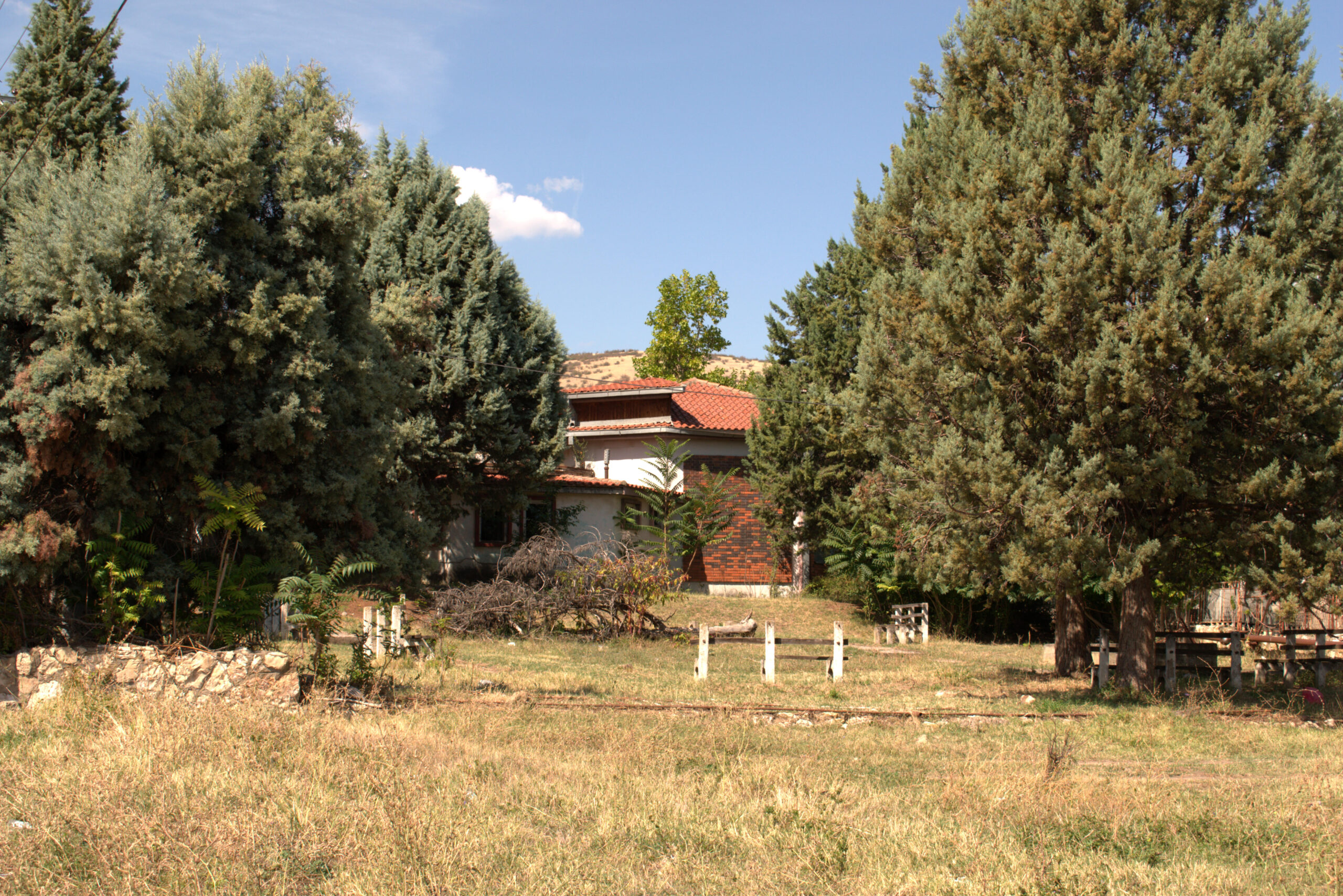
The village of Banya is located west of Kochani, on the southern peripheral parts of the Osogov mountain, on the very border with the Kochan valley.
Geographical location of the settlement: 41 ° 54’41 “north and 22 ° 20’0” east. The village of Banya has existed since Roman times. During the Turkish rule, the entire population of the village was Turks. According to written data, in 1900, about 200 inhabitants lived in Banya, all of whom were Turks. In 1916, 189 inhabitants lived in Banya, of which 130 were Turks and 59 other people.
The bathhouse “Banya” is located only 5 km from Kočani, and it is 66 km from the nearest border crossing. It has thermo-mineral waters with a temperature of 70 degrees, which goes down to 37 degrees.
The bath has excellent properties for the treatment of gastrointestinal, skin and rheumatic diseases, as well as liver diseases.
At the moment, no one manages the bath and the hot springs are not used. The place is neglected despite the huge potential of this place.
Maps
More Information
- Services: Entrance fees; tour guide; attractions - prices.
- Accessibility: Bus, car, bicycle, pedestrian.
- Coordinates: N 41.8735347, E 22.290560700000015
- Note: Sources of information, additional instructions, etc.


