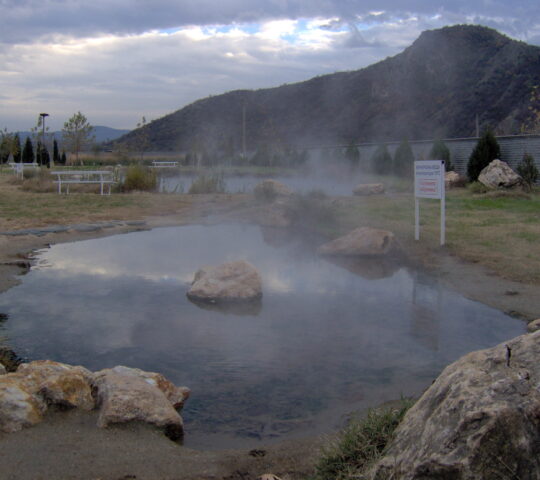
The reservation Ali Botush is situated in the Slavyanka mountain, located to the south of Pirin.
The state borderline between Bulgaria and Greece passes along the ridge of the mountain, and half of its area is placed on the territory of Greece. Its highest point is Gotsev peak (2212 m.), situated on the very borderline. Until 1955 the mountain was known under the name Ali Botush. Slavyanka is characterized by its karst nature and exceptionally diverse plant species. It is also known as Kitka Mountain (Flower Mountain) because almost during the whole year the mountain looks like a flower garden.
The Ali Botush Reservation was established on 24.09.1951 and fn 1 March 1977 the reservation was included in the list of Biosphere Reservations as per the Human and Biosphere Program of UNESCO. The aim is to preserve the unique relic forests composed of Pinus leucodermis, Pinus nigra, Abies borisii-regis, the great number of plant and animal species. There is also the largest plantation of Pinus nigra on the Balkan Peninsula. More than 1400 species of various herbaceous plants were established. Many of them are rare and protected from extinction species, included in the Red Book of Bulgaria. Interesting species are also the butterflies, among which there are also species which are new for science.
The territory of the Ali Botush Reserve has the strictest environmental protection regime. The access to the reservation is limited and the transition is made on certain routes. However, the preliminary coordination of each visit is regulated by the Regional Inspectorate of Environment and Water – Blagoevgrad.
Additional information:
Address: In Slavyanka Mountain, located south of Pirin, lies the reserve “Ali Bоtush”
One should follow the main road from Blagoevgrad to Drama, then turn to the village of Koprivlen, and after that continue along the only way to the village of Paril. A not asphalted way follows from this point on, leading to the skirt of the mountain. There is a designative board sign for the reservation in the region.
Maps
More Information
-
Accessibility:
Bus, car, bicycle, pedestrian.
The reservation is managed by the Regional Inspectorate of Environment and Waters – Blagoevgrad. One should mandatorily notify the institution upon visiting the reservation. - Coordinates: 41°24'31.5"N 23°38'14.6"E
- Note: Source: http://www.bulgariatravel.org
- Opening time: Free access


