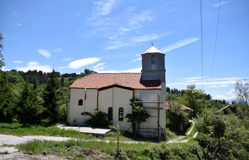
Red and yellow (beam) routes – eco and mountain.
The routes start together from the fountain in the center of the village. The main road quickly leads to the river gorge. Before the bridge, turn left and go up a dirt road, successively passing the hamlets of Grkovtsi and Papchiovtsi (which, unlike the central hamlet, look more like scattered slope houses). Shortly before the village of Minovtsi, the route deviates to the left from the road and takes a steep horse path that winds through hills and ravines, in an increasingly dense deciduous and later coniferous forest. After about an hour’s ascent, you pass through the town of Arnautske Livadi, where the path briefly exits the Senokos-Shirinata dirt road and turns left along a steep road. Soon you cross the river, which at this point forms a small waterfall and exits in the town of Voditsa (a small extension of the Senokos-Shirinata road, suitable for a short rest, with a fireplace and water).
Here the routes are divided as:
– The yellow route turns onto the dirt road and after about a quarter of an hour comes out on the extensive meadows of the town of Shirinata.
– The red route continues steeply up through a young pine grove, which soon ends and the path becomes wider and lighter. Next is the village of Koprivite (a small meadow on which, to the right of the path, huge stones are piled up, forming a natural shelter and a larger meadow with an old cattle shed). After the nettles, the trail enters the territory of the Pirin National Park and leads to the Boyov chukar area (also known by the names Bulyov, Belyov, Boyuv, etc.) and Mount Pirin.
Maps
More Information
-
Services:
Yellow – 5 hours, difficulty above average /in both directions/.
Red – 7 hours to the national park border, difficult. - Accessibility: Pedestrian.
- Coordinates: 41°49'54.6"N 23°13'50.9"E
- Note: Source: http://www.senokos.com/content/view/20/33/lang,bg/
- Seasonality Summer, Spring and Autumn


